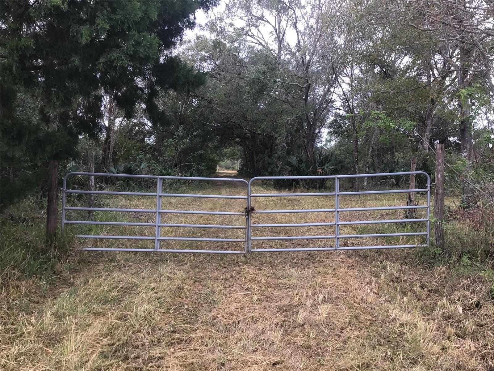
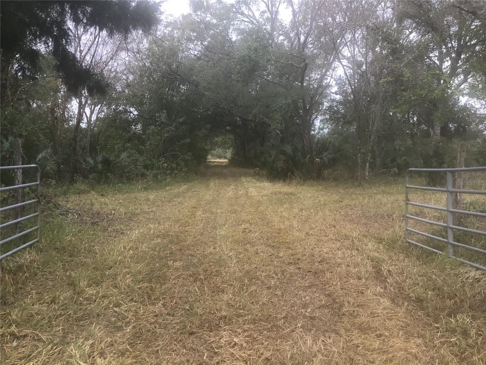
0 Irlo Bronson Memorial Highway, SAINT CLOUD, FL 34773
Property Photos

Would you like to sell your home before you purchase this one?
Priced at Only: $799,000
For more Information Call:
Address: 0 Irlo Bronson Memorial Highway, SAINT CLOUD, FL 34773
Property Location and Similar Properties
- MLS#: O6267328 ( Land )
- Street Address: 0 Irlo Bronson Memorial Highway
- Viewed: 6
- Price: $799,000
- Price sqft: $0
- Waterfront: No
- Year Built: Not Available
- Bldg sqft: 0
- Days On Market: 10
- Additional Information
- Geolocation: 28.2458 / -81.256
- County: OSCEOLA
- City: SAINT CLOUD
- Zipcode: 34773
- Elementary School: Harmony Community School (K 5)
- Middle School: Harmony Middle
- High School: Harmony High
- Provided by: PREMIUM PROPERTIES R.E SERVICE
- Contact: Dana Stanley
- 407-380-2800

- DMCA Notice
-
DescriptionGreat investment opportunity in an up and coming area of expansion. Buyer to verify lot dimensions and land use.
Payment Calculator
- Principal & Interest -
- Property Tax $
- Home Insurance $
- HOA Fees $
- Monthly -
Features
Building and Construction
- Covered Spaces: 0.00
- Living Area: 0.00
School Information
- High School: Harmony High
- Middle School: Harmony Middle
- School Elementary: Harmony Community School (K-5)
Garage and Parking
- Garage Spaces: 0.00
- Open Parking Spaces: 0.00
Eco-Communities
- Water Source: Well Required
Utilities
- Carport Spaces: 0.00
- Pets Allowed: Yes
- Sewer: Septic Needed
- Utilities: BB/HS Internet Capable, Electrical Nearby, Utility Pole
Finance and Tax Information
- Home Owners Association Fee: 0.00
- Insurance Expense: 0.00
- Net Operating Income: 0.00
- Other Expense: 0.00
- Tax Year: 2023
Other Features
- Country: US
- Current Use: Agricultural
- Legal Description: SE 1/4 OF SE 1/4 LESS SLY 42 FT FOR RD R/W AND LESS COM AT SE COR OF SEC, N 42.10 FT TO PT ON N R/W OF HWY 441 BEING POB, N 363 FT, W 155 FT, S 363 FT, E 155 FT TO POB AND LESS COM AT SW COR OF SEC, N 705.80 FT TO NLY R/W SR 500, S 64 DEG E 333.83 FT TO POC, CONCAVE NELY, RAD 5696.65 FT, CH S 77 DEG E, SELY 2517.20 FT, E 1281.31 FT TO POB, N 107.59 FT TO POINT ON NON-TAN CURVE, CONCAVE SLY, RAD 11559.16 FT, CH N 88 DEG E, ELY 781.53 FT, E 396.95 FT MOL TO POINT ON W LINE OF PARCEL DESCRIBED IN O R 1018 PG 2982, S 134.00 FT, W 1165.73 FT TO POB
- Area Major: 34773 - St Cloud (Harmony)
- Parcel Number: 11-27-32-0000-0030-0000
- Zoning Code: OAC

- Warren Cohen
- Southern Realty Ent. Inc.
- Office: 407.869.0033
- Mobile: 407.920.2005
- warrenlcohen@gmail.com


